Whenever drought comes to California, we're reminded of the critical importance of groundwater to farms and cities. As part of a "Greenprint" project supported by the Fresno Council of Governments, the nonprofit Sequoia Riverlands Trust (SRT) worked with GreenInfo Network to identify areas where groundwater enhancements projects are likely to be especially effective.
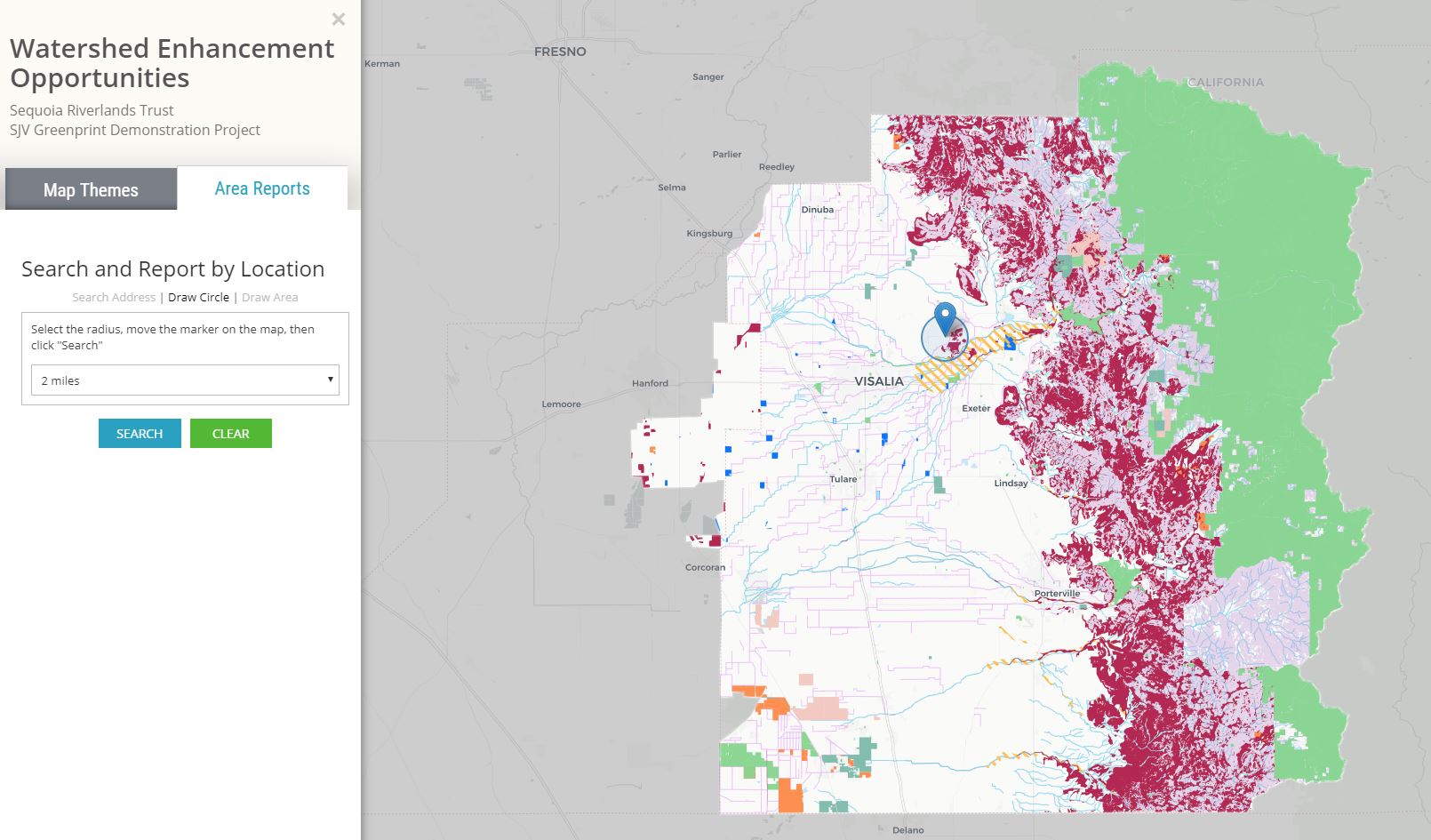
Sequoia Riverlands Trust’s San Joaquin Valley Greenprint Demonstration Project explores the potential contribution of land-based strategies to watershed effectiveness, usable water supply and groundwater sustainability, focusing on three themes: Soil Enhancement and Water Resources, Floodwater Threats and Opportunities, and Mineral and Water Resources.
The tool combines data about protected lands, both fee and easement, with a range of land use, jurisdictional, and natural landscape layers to provide context for potential water conservation, land protection, and on-farm conservation projects. Users can create curated reports for any part of the target area and then download those as a PDF.